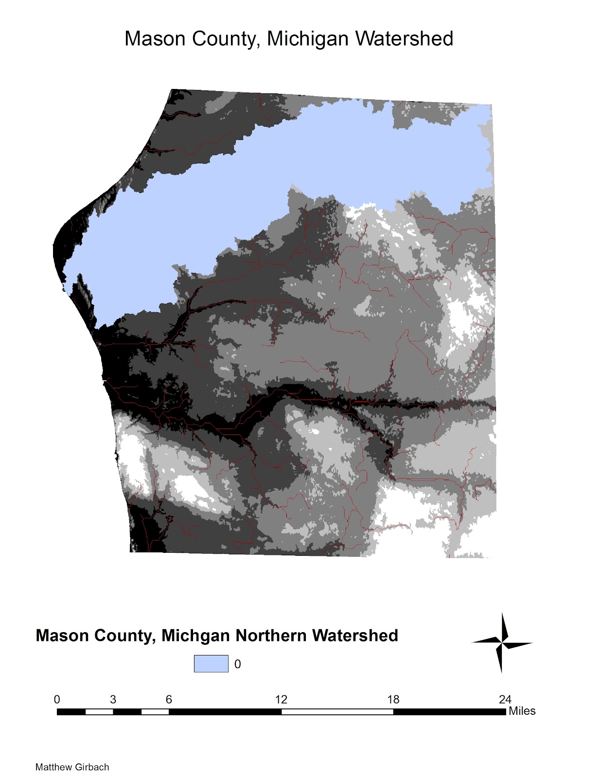
For this assignment, we had to construct a watershed chart for a specific area. I chose Mason county in Michigan. First, I went to the Seamless Server and downloaded a DEM of the county, and converted it to the proper measurements for ArcGIS. Then, went through various processes, including creating a pour point. The steps I took can be found within the Model Builder Model, which I will include below. This assignment went smoothly, and I encountered few problems overall.
 |
| Stream Network of Mason County, including all streams with a value greater than 3000. |
 |
| Watershed of northern stream network in Mason County. Notice the pour point, where the watershed meets Lake Michigan in the farthest left side of the map. |
 |
| The Model Builder Model. This details the steps I took to create the Watershed Map. |


No comments:
Post a Comment